Drones in Forestry
Produced By:
SheMaps and ForestLearning
States:
Qld, NSW, SA, NT, ACT, Tas, WA
Aimed at:
Year 5
- 10
Curriculum 8.4
Curriculum 9.0:
Lesson Type:
Subjects:
Keywords:
Forestry, Drones, SheMaps, Drones in Forestry, Sustainability, Virtual Reality, VR, Renewable
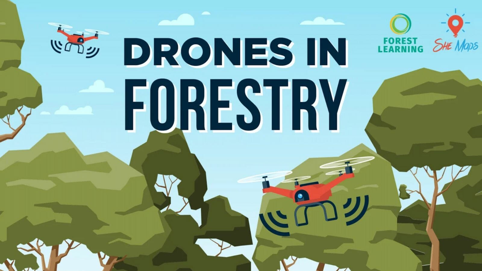
Drones in Forestry
Drones in Forestry – Free Teacher Resources
Soar into the world of technology and sustainability with the Drones in Forestry units of work, created in partnership with She Maps and ForestLearning. This innovative program is designed for students in years 5-6 and 9-10, providing them with a unique opportunity to explore how Australia’s forests are managed using cutting-edge digital systems and drone technology.
From understanding how drones and Geographic Information Systems (GIS) assist foresters in their management practices, to completing a simulated forestry drone mission, students will be fully immersed in the world of sustainable forestry. With hands-on experiences and real-life case studies, they will gain a deep understanding of the role technology plays in preserving our precious forest environments for future generations.
Join She Maps, ForestLearning, and the world of drones in forestry, and discover how digital systems are helping to ensure the sustainability and renewability of our forest resources. Get ready for a thrilling journey into the heart of the forest, where technology and sustainability collide to shape our future!
The Drones in Forestry teaching resources include:
- Lesson sequence with hyperlinks to supporting resources
- Australian Curriculum mapping document
- Assessment rubrics mapped to the Australian Curriculum Achievement Standards
- Student response booklets and activity sheets
- Forest VR – virtual reality (VR) toolkit for schools, it showcases various forest environments and processing mills for forest products.
- StoryMaps – interactive visual guides with embedded videos and maps